/images/clemens.jpg

Hi! I'm Clemens Schotte,

Enthusiastic storyteller with a passion for technology

Azure Maps Creator onboarding

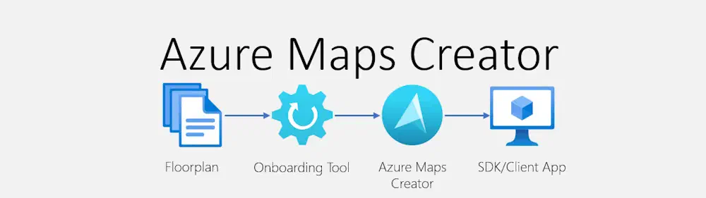
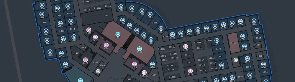
Azure Maps Creator is a powerful product that transforms your static floor plans into dynamic, interactive indoor maps for your business locations. It allows you to overlay technical building plans ontop of Azure Maps, enabling the visualization of IoT data such as temperature, occupancy, and other location-based services. The onboarding process is streamlined, requiring only the preparation and uploading of your DWG floorplan files (the native file format for Autodesk’s AutoCAD software) into Azure Maps Creator.

How Microsoft uses Azure Maps Creator

In the evolving landscape of remote work and sustainability, the optimization of physical spaces has become increasingly important. Microsoft is at the forefront of this transformation, utilizing Azure Maps Creator to enhance the management of its diverse global workspaces. This product is essential for facilities managers, providing dynamic, interactive indoor mapping solutions that allow for real-time assessment of space and resources, quick response to critical issues, and seamless adaptation to the needs of a hybrid workforce—all while minimizing environmental impact.

Lowering Your Energy Bill: How Combining Dynamic Pricing and Home Battery Storage Can Save You Money

Introduction

In today’s energy and climate crisis, prices for energy such as natural gas for heating and electricity have risen significantly in recent years, with prices at least two to three times higher than in past decades. This is particularly true in Europe, where affordable natural gas from Russia is currently not available. The price of electricity is also closely linked to the price of natural gas, so even when clean electricity is generated through wind, solar, and nuclear power, the price is still higher than what we are used to. This is due to the demand for and availability of electricity, which is typically high during the day and in the evening, but low during nighttime. When there is no wind or sun, electricity is generated by gas, coal, and lignite power plants, which is harmful to the environment. The mix of energy and the linked gas price drives up our energy bills.

Storing and querying your geospatial data in Azure

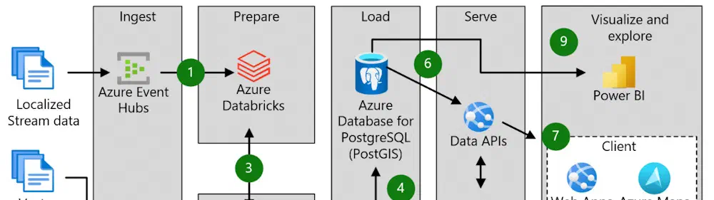
While Azure Maps is known for great use cases around visualizing and interacting with a map and location data, you probably also need secure and reliable storage for that data that offers the flexibility to query your (location) data. In this blog post, we explore the different options for storing and querying geospatial data in Azure, including Azure Cosmos DB, Azure SQL Database, and Azure Blob Storage. Storing and querying geospatial data in Azure is a powerful and flexible way to manage and analyze large sets of geographic information.

Azure Maps REST SDKs

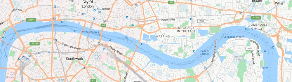
Azure Maps is more than just a Map on your website. It is a complete enterprise solution for location-aware solutions. For example, you can do (reverse) geocoding of customer addresses and use an isochrone to find out withs customers a close to your store or get weather conditions for all your past sales data to know withs products sell best by rain or hot weather or get the correct time-zone for your customer by translating an IP-address to a location and get the time-zone information, or you need to know what the travel time is between two or more locations. So many scenarios and use cases you can make location aware with Azure Maps.

Add a custom WebGL layer to Azure Maps

Enhancing your Azure Maps with a custom WebGL layer opens up a realm of possibilities for rendering dynamic 2D and 3D data. While Azure Maps provides a robust set of built-in features, there are times when you may require a more tailored solution. This is where the power of a custom WebGL layer shines.

WebGL, a cross-platform and royalty-free web standard, empowers you to harness low-level 3D graphics right in your web browser. By utilizing WebGL, Azure Maps gains a performance edge, surpassing the capabilities of standard HTML canvas rendering. However, it’s important to note that WebGL’s low-level nature adds complexity and may not always align with straightforward business solutions.