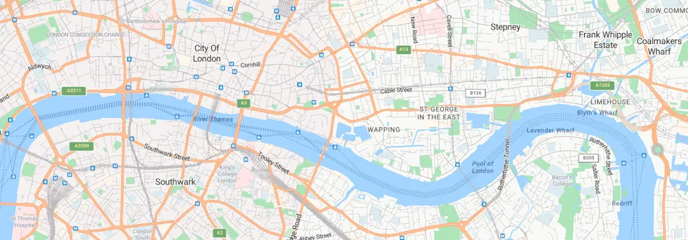
We are excited to announce that we have developed a new and improved style for our maps across Microsoft. Azure Maps now utilizes the same vector tiles and satellite imagery directly as our other Microsoft mapping platforms, including our Bing Maps consumer site and more. This updated style introduces a fresh cartographic identity across Microsoft, focusing on enhancing usability, information clarity, and aesthetic appeal.
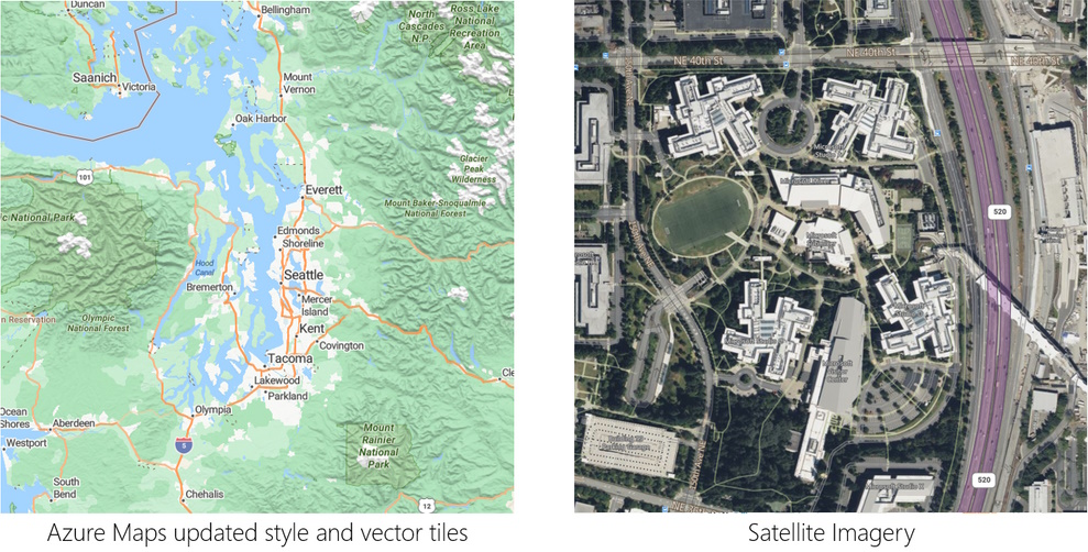
Key Features of the New Style
- Style Choices: As before, Azure Maps allows you and your customers to choose from several styles, such as:
- Road
- Night
- Hybrid
- Grayscale (dark and light)
- Terra
- High Contrast (dark and light)
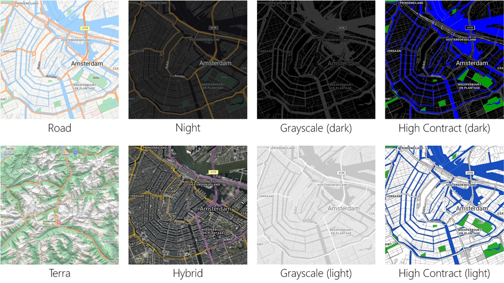
Fine-Tuned Colors and Information Density: We have carefully considered feedback from our previous styles. The result is a balance of colors and information density designed to make our maps more easily consumable across different zoom levels and device profiles.
Transport Features: We’ve introduced transport features with hairline rendering. These features provide more context and information without compromising readability.
Greener Base Map Colors: Our base map colors now support biomes and landcover classes, including subtle yet functional terrain shading rendered with ambient occlusion.
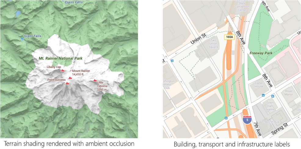
Improved Label Density: With this update, we have significantly improved label density. You’ll find an even and consistent level of detail across various zoom levels and geographies.
Clear Hierarchy of Types: We’ve defined a clear hierarchy for labels, making it easy to distinguish between:
- Transport and infrastructure labels
- Administrative districts
- Natural features
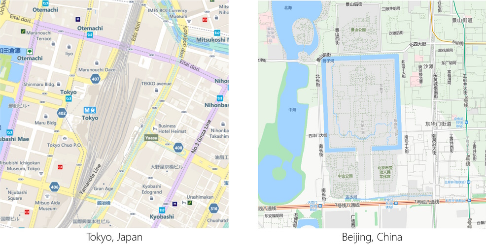
Expanded Coverage: Thanks to our partners, the Microsoft mapping platform now combines and enhances data from various sources. As a result, we’ve expanded our coverage in China, Japan, and Korea.
- Additional Enhancements:
- Road Details
- Building Footprints
- Hiking Trail Coverage
- Wider Zoom Level Ranges for the Terra style
- More Transit Types and Information (e.g., ferry stops, metro stops, bus stops)
- Additional details about mountains, altitude, and waterfall locations
Exploring the New Style
If you want to explore the new style, visit our Azure Maps Samples or try out the Azure Maps Demo site.
Developers can also use the Azure Maps V3 Web Control in their applications by utilizing our CDN endpoint or the NPM package.
<link rel="stylesheet" href="https://atlas.microsoft.com/sdk/javascript/mapcontrol/3/atlas.min.css" type="text/css" />
<script src="https://atlas.microsoft.com/sdk/javascript/mapcontrol/3/atlas.min.js"></script>